in Agroforestry Using Remote Sensing and Machine Learning
This case study examines an innovative approach to estimating biomass and assessing carbon sequestration potential in agroforestry systems by leveraging remote sensing, geospatial techniques, and machine learning. The methodology establishes a robust framework for biomass and carbon analysis, integrating advanced technologies with in-situ data collection.
from Paddy Cultivation Using Remote Sensing and Machine Learning
This case study explores a comprehensive approach to estimating methane emissions from paddy cultivation across multiple scales, including farm, village, tehsil, and district levels. By leveraging remote sensing data, in-situ observations, and machine learning techniques, the study addresses the critical need to quantify methane emissions, a potent greenhouse gas, for sustainable agricultural practices and effective carbon management.
Construction activities contribute significantly to carbon emissions through heavy machinery usage, transportation, material processing, and land-use changes. This study integrates in-situ data collection, satellite-based observations, machine learning techniques, and geospatial analysis to estimate carbon emissions and evaluate their environmental impact. The approach aims to provide actionable insights for emission reduction strategies and promote sustainable construction practices.
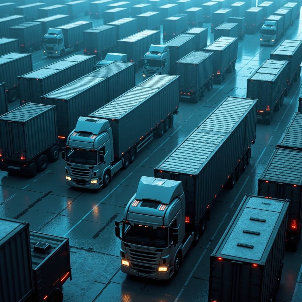
The transportation sector, particularly logistics and freight operations, significantly contributes to global carbon emissions. Large and heavy cargo vehicles, essential for delivering goods nationwide, emit substantial amounts of carbon dioxide and other greenhouse gases (GHGs) due to fuel consumption, vehicle inefficiencies, and travel routes. This case study demonstrates how remote sensing, geospatial data, and machine learning techniques can estimate net carbon release from cargo operations. The insights support carbon stock calculations, carbon trading, and the development of sustainability strategies.
Large-Scale Industrial Operations: A Case Study on Sugarcane Factories
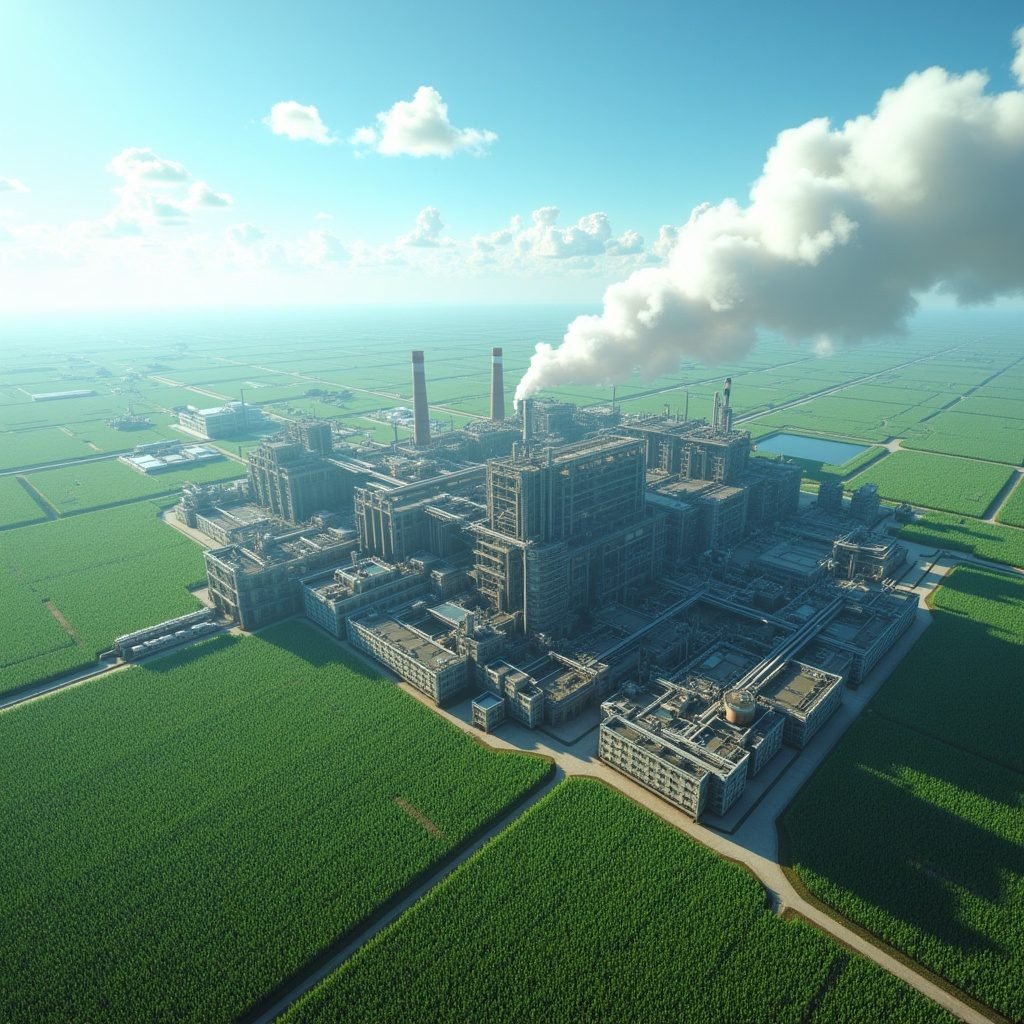
Large-scale industries, such as sugarcane factories, contribute significantly to carbon emissions through their operations, including energy use, machinery, transportation, and production processes. This case study explores how remote sensing, geospatial data, and machine learning techniques can be used to estimate the net carbon emissions from such industrial operations. The goal is to provide valuable insights for carbon stock calculations and trading, helping these industries reduce their environmental impact while optimizing their sustainability efforts.
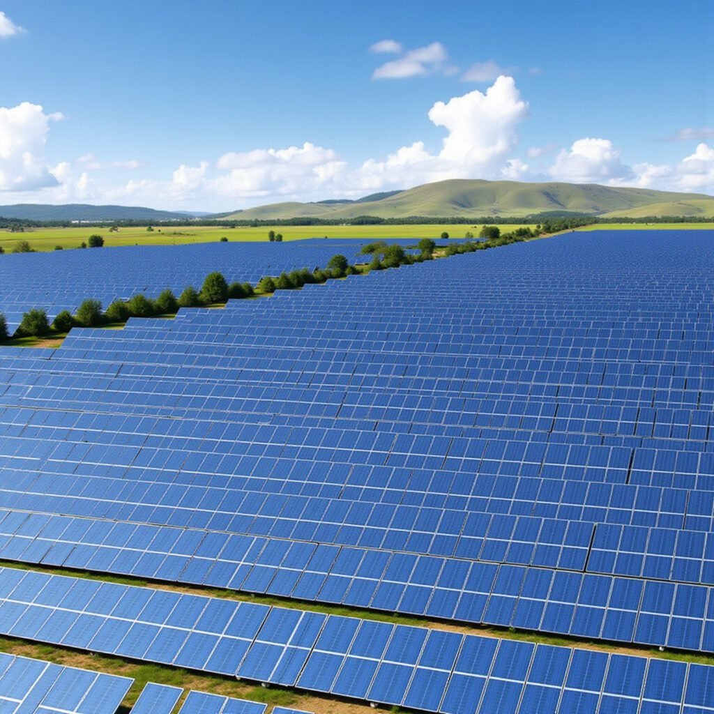
The widespread adoption of solar energy holds significant potential to reduce global carbon emissions. However, large-scale solar panel installations—particularly at corporate facilities—can also contribute to carbon emissions. This is primarily due to the use of backup generators, energy consumption during panel heating, and the lifecycle emissions from panel manufacturing, transportation, and installation. This case study explores how remote sensing, geospatial data, and machine learning can be integrated to accurately estimate both the carbon emissions and carbon sequestration potential of large-scale solar installations. These insights enable companies to estimate their carbon footprint and leverage the data for carbon trading and sustainability initiatives.